Devon Flores · 27 October 2026
Seasonal Wildlife Patterns Shift Near Historic Trail Corridors as Monitoring Expands
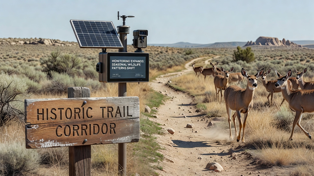
Monitoring programs along historic trail corridors have expanded steadily since early 2025, and data collected through October 2026 shows measurable changes in how species time their movements and use adjacent habitats. Researchers from multiple institutions track birds, mammals, and reptiles that once followed predictable seasonal routes but now appear at different times or in altered numbers near paths like the Flintway.
Expansion of Monitoring Networks
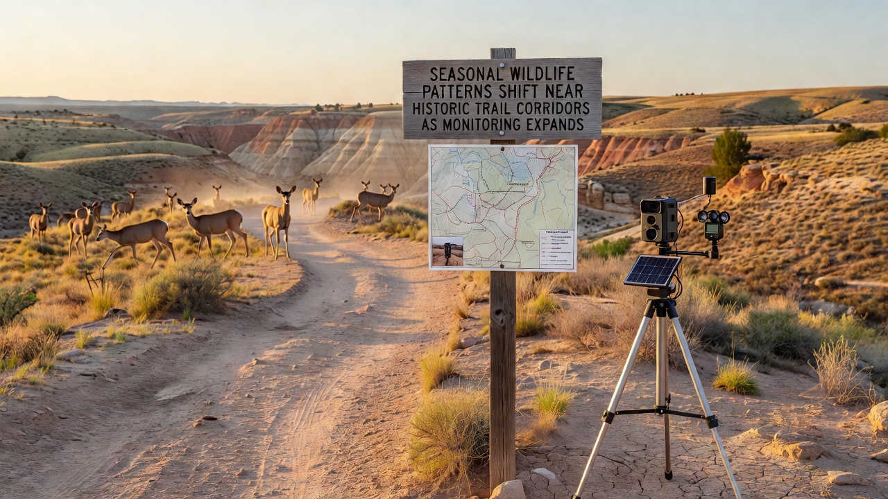
Trail managers and conservation groups installed additional camera traps, acoustic sensors, and GPS collars across several regions during 2025, while partnerships with local universities added drone surveys and environmental DNA sampling. These tools operate year-round yet deliver especially detailed records during spring and autumn transitions when migration peaks. Figures from the expanded network indicate that coverage along the Flintway corridor increased by roughly 40 percent compared with 2023 levels, allowing observers to detect smaller shifts that earlier setups missed.
Coordination among agencies helped standardize data formats so records from one site feed directly into regional databases. Technicians visit stations monthly to download readings and recalibrate equipment, and October 2026 marked the first full season where all new sensors ran without gaps. The result is a clearer picture of how species respond to changing temperatures, vegetation cycles, and human foot traffic along the same corridors used for centuries.
Documented Shifts in Seasonal Timing
Records show that several bird species now arrive at breeding grounds near the trails two to three weeks earlier than averages recorded between 2015 and 2020. Mammals such as deer and foxes appear more frequently at dusk and dawn rather than midday, while certain reptile populations extend their active periods deeper into autumn months. Acoustic data reveal that frog choruses begin later in spring near trail-adjacent wetlands, possibly linked to altered water levels observed in the same period.
One long-term study site recorded a 15 percent drop in autumn passerine counts during October 2026 compared with the previous five-year mean, yet the same location logged higher numbers of overwintering raptors. Researchers note that these changes do not occur uniformly; sections of trail bordered by intensive agriculture display different patterns from those surrounded by woodland or restored grassland. Cross-referencing with weather stations shows correlations between earlier snowmelt dates and the timing of first detections for several insectivorous species.
Contributing Environmental Factors
Climate records indicate rising average temperatures and shifting precipitation patterns across the regions traversed by historic trails, while land-use changes continue to fragment habitat patches. Monitoring teams measure vegetation phenology at fixed plots and find that leaf-out and seed set now occur on altered schedules, affecting food availability for herbivores and the insects they support. Trail usage data collected by counters show steady increases in visitor numbers during shoulder seasons, which may further influence animal movement corridors.
Soil moisture sensors installed alongside wildlife equipment register drier conditions in late summer, correlating with reduced small-mammal activity in open areas near paths. Meanwhile, restored sections with added native plantings demonstrate higher species diversity and more stable seasonal presence, suggesting that habitat quality can buffer some timing shifts. Government agencies including Australia's Department of Climate Change, Energy, the Environment and Water publish comparable findings from protected corridors on other continents, reinforcing that local observations fit broader trends.
Integration with Broader Conservation Data
Wildlife records from trail-adjacent sites now feed into national biodiversity inventories maintained by agencies such as Environment and Climate Change Canada, allowing analysts to compare corridor-specific changes against larger protected areas. This integration highlights that historic trail zones often serve as linear connectors between fragmented habitats, making them useful barometers for regional health. October 2026 datasets, once fully processed, will contribute to updated models that forecast future movement windows under different climate scenarios.
Community volunteers trained in basic identification assist professional crews during peak survey weeks, increasing the volume of verified sightings without raising costs. Their contributions help fill gaps between sensor locations and provide ground-truth checks for remote imagery. The combined dataset grows steadily, yet gaps remain in nighttime and underground activity patterns that newer sensor types aim to address in coming years.
Conclusion
Expanded monitoring along historic trail corridors has produced concrete evidence of altered seasonal wildlife patterns through October 2026, with timing shifts documented across multiple taxa and tied to measurable environmental variables. Continued data collection and cross-regional comparisons will clarify whether these adjustments represent temporary responses or longer-term adaptations, while existing networks already supply the detail needed for evidence-based management decisions.