Devon Flores · 15 September 2026
Balancing Agriculture and Antiquity: Strategies for Farmland Adjacent to Historic Trails
Farmland that sits next to historic trails faces ongoing pressure from both cultivation needs and preservation requirements, and landowners have developed practical methods to handle these overlapping demands without compromising either side. Agricultural operations continue to supply food and economic value while trail corridors maintain their cultural and archaeological significance, yet the two functions require careful coordination through zoning, planting choices, and access controls that keep both systems intact.
Understanding the Core Challenges
Historic trails often cross or border active fields, which means soil disturbance from plowing can affect subsurface artifacts while foot traffic from trail users sometimes damages crop edges or spreads invasive species. Data from multiple regions shows that unrestricted machinery movement near trail boundaries increases erosion rates by up to 30 percent in some soil types, and researchers at several universities have documented how repeated compaction alters drainage patterns that in turn affect both yields and trail stability. Livestock grazing presents another layer of complexity because animals may wander onto protected routes unless fencing systems are designed to respect original trail alignments rather than simply maximizing pasture area.
Buffer Zone Implementation
Establishing vegetated buffer strips between cultivated land and trail edges has become a standard approach across North America and parts of Europe, and these strips typically range from five to twenty meters wide depending on terrain and trail sensitivity. Native grasses planted in these zones reduce sediment runoff into trail areas while providing habitat corridors that support local wildlife, and the same plantings can serve as windbreaks that protect both crops and fragile trail surfaces from extreme weather. Farmers in several Midwest states have reported that these buffers also limit the need for chemical applications near trail margins, which helps maintain the chemical integrity of archaeological deposits beneath the path surface.
Timing and Seasonal Management Practices
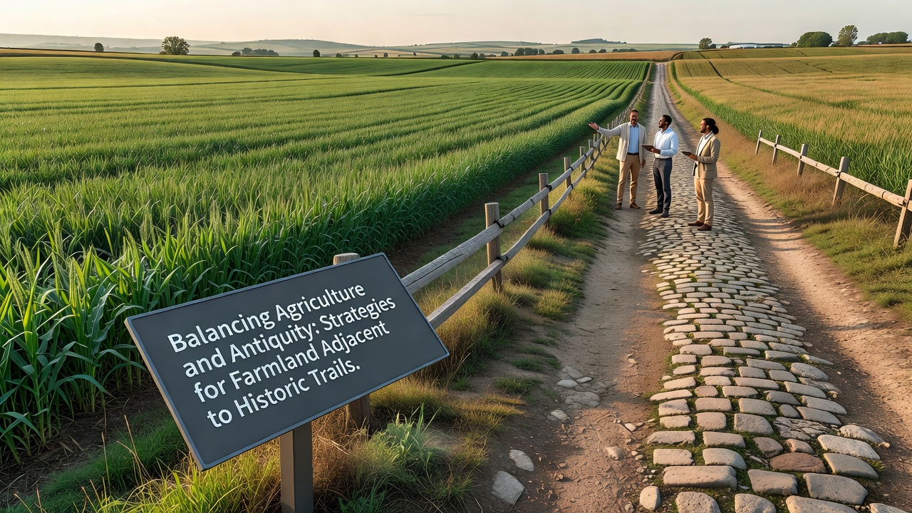
Coordinating farm activities with trail usage patterns minimizes conflict, and many operators now schedule heavy machinery work during periods of lowest visitor traffic while using lighter equipment or hand labor closer to trail boundaries during peak seasons. In September 2026 several regional heritage agencies plan to release updated calendars that align planting and harvest windows with anticipated trail maintenance closures, allowing both farmers and preservation crews to work without mutual interference. Irrigation systems have also been rerouted in numerous cases so that water does not flow directly across trail surfaces, and drip lines placed several meters back from boundaries prevent both trail erosion and crop damage from overspray.
Technology and Monitoring Tools
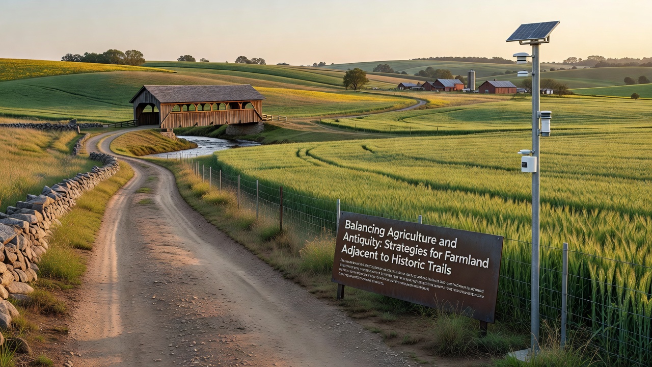
GPS-guided machinery now allows operators to maintain precise distances from trail edges, and drone surveys conducted at regular intervals provide updated maps that flag any encroachment or erosion before it becomes severe. Soil sensors placed at strategic points along field perimeters track moisture and compaction levels, sending alerts when conditions approach thresholds that could harm either crops or underlying historic features. These systems have been adopted widely because they deliver measurable results; one multi-year project in western Canada tracked a 22 percent reduction in trail-adjacent soil loss after precision equipment was introduced.
Legal and Collaborative Frameworks
Many jurisdictions require formal agreements between landowners and heritage authorities before new cultivation practices begin near protected routes, and these documents typically outline permitted activities, required setbacks, and reporting obligations. National Park Service guidelines emphasize shared stewardship models that give farmers technical support in exchange for documented protection measures, while similar frameworks in Australia through the Department of Climate Change, Energy, the Environment and Water promote voluntary conservation agreements that include financial incentives for maintaining trail buffers. Local historical societies often participate in these arrangements by providing educational materials that help farm workers recognize and report potential artifacts uncovered during routine fieldwork.
Conclusion
Effective strategies for farmland next to historic trails combine physical buffers, seasonal scheduling, precision technology, and formal agreements that respect both agricultural productivity and cultural preservation. As monitoring tools improve and agencies release coordinated calendars in 2026, the practical knowledge accumulated by operators and researchers continues to refine these methods, ensuring that historic routes remain accessible and intact while surrounding fields stay economically viable.