Xander Vogel · 29 September 2026
Advancements in Artifact Dating Methods from Digs Adjacent to Established Walking Routes
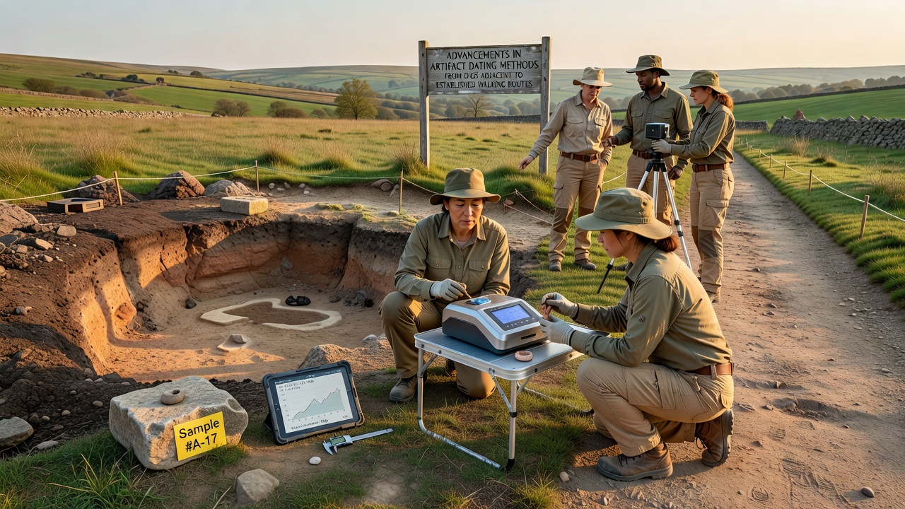
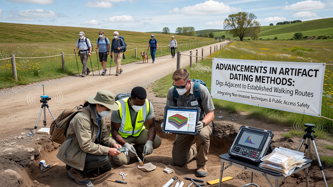
Researchers continue to refine dating techniques applied to artifacts recovered from excavations positioned alongside longstanding pedestrian corridors, and these corridors often follow ancient pathways that connect settlements across varied landscapes. Data from multiple field projects show how improved precision in laboratory analysis now allows teams to establish tighter chronological frameworks for objects found in disturbed or stratified contexts near trails that remain in active use today. New applications of optically stimulated luminescence dating have emerged in recent seasons, and this method measures the last time quartz grains in sediment were exposed to sunlight before burial, which proves especially useful when organic material for radiocarbon testing proves scarce or contaminated. Teams working near trail systems in North America have reported results that place certain tool assemblages within windows as narrow as two centuries, according to findings shared through the Archaeological Institute of America. Portable X-ray fluorescence units now travel directly to dig locations, and operators obtain elemental composition readings on pottery sherds and lithic tools without removing samples from the site, which reduces handling time while preserving context along sensitive route corridors. These readings feed into databases that cross-reference stylistic attributes with absolute dates obtained from associated strata.Integration of Multiple Techniques
Combined approaches have become standard practice, and scientists pair accelerator mass spectrometry radiocarbon dates with dendrochronological sequences recovered from preserved wooden artifacts or structural remains encountered during work beside established paths. This layering of methods produces calibrated timelines that account for regional variations in atmospheric carbon levels, and results appear in peer-reviewed reports issued by institutions such as Simon Fraser University in Canada.
Ground-penetrating radar surveys conducted prior to excavation help crews identify subsurface features without extensive trenching, and the technique directs attention to areas where dating samples are most likely to yield reliable outcomes. Field teams have mapped linear anomalies that align with historic trail alignments, then targeted those zones for targeted sampling campaigns.
Regional Case Applications
Projects along routes in the Australian outback have incorporated thermoluminescence testing on heated stone tools, and the resulting ages help reconstruct seasonal movement patterns of earlier populations who followed the same corridors now used by modern hikers. Comparable work in European heritage zones has applied Bayesian statistical modeling to integrate dates from multiple contexts, tightening the overall sequence for sites that sit within a few meters of maintained footpaths.
Drone-based photogrammetry supplies high-resolution topographic data that researchers combine with dating results to model landscape change over centuries, and the models reveal how erosion along trail edges has exposed or reburied artifacts at different intervals. These visualizations support conservation planning that protects both the cultural deposits and the recreational function of the routes.
Upcoming Developments
An international symposium scheduled for September 2026 will focus on portable dating instrumentation suited to linear sites that parallel public walking infrastructure, and organizers expect presentations on laser ablation techniques that minimize sample destruction while delivering isotopic ratios for age calculation. Preliminary abstracts indicate emphasis on protocols that respect restricted access zones near protected trails.
Funding bodies in several countries have increased support for collaborative databases that compile dates from trail-adjacent excavations, and these repositories allow researchers to identify patterns across wide geographic areas without duplicating fieldwork. Access remains restricted to verified academic users to maintain site security.
Conclusion
Continued refinement of dating methods applied to finds from excavations beside established walking routes supplies increasingly precise chronological control, and the resulting datasets support both scientific interpretation and heritage management decisions. Organizations responsible for trail maintenance now coordinate more closely with archaeological teams to schedule work windows that avoid peak visitor periods while ensuring sample integrity. The combined effect strengthens understanding of past human activity along these corridors without compromising their contemporary function.